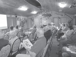
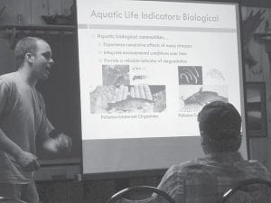
Citizens interested in the Minnesota Pollution Control Agency’s new watershed restoration and protection strategies attended a meeting at Gunflint Lodge on Thursday, June 19. MPCA speakers shared information about the Rainy River Headwaters, which covers 1,890,689 acres and includes 3,531 lakes and an additional 362,218 acres of wetlands.

A meeting of the Minnesota Pollution Control Agency (MPCA) was held at Gunflint Lodge on June 19, 2014. MPCA representatives traveled to the Arrowhead region to talk about the Rainy River Headwaters and to introduce the MPCA’s Watershed Restoration and Protection Strategies (WRAPS).
Joel Peterson and Nate Meilke of the MPCA introduced the project to community members. They gave a brief overview of the project and discussed ways the public can be involved.
The WRAPS project is taking place across the state in the large watersheds identified as HUC (hydrological unit code) 8 watersheds. The WRAPS project is a watershed approach that is built around a fourstep process.
Step one involves monitoring water bodies and collecting data. Assessing the data is step two. Step three develops strategies to restore and protect the watershed’s water bodies. The fourth stage is to conduct restoration and protection projects in the watershed. A report is generated after step three providing data and information to complete step four.

Speakers explained how the WRAPS project would be implemented in the watershed. The watershed starts in northern Cook and Lake counties and flows west and northwesterly into St. Louis County and the Canadian border waters.
Funding for the project comes from the Clean Water Land & Legacy Amendment. Information about the WRAPS project can be found on the MPCA website.


Loading Comments